Arrrrrgh! Grab a chart me mateys and follow along as I tell ye a tale o’ social distancing on the high seas. Arrrrrgh (again)! Or, you can have a look at the route we took here. Let me begin with a short history lesson. These Islands were “discovered” (in the
Arrrrrgh! Grab a chart me mateys and follow along as I tell ye a tale o’ social distancing on the high seas. Arrrrrgh (again)!
Or, you can have a look at the route we took here.
Let me begin with a short history lesson. These Islands were “discovered” (in the Eurocentric sense) and named by Captain Francisco de Eliza of Spain. Hence the “correct” pronunciation is Sue-see-ah. But if you say that, you will undoubtedly be corrected, “It’s Sue-sha“.
Sucia Island is everyone’s favorite, or so you might think on a busy summer weekend when you can’t find a decent anchorage and the beaches are overrun with frolicking families.
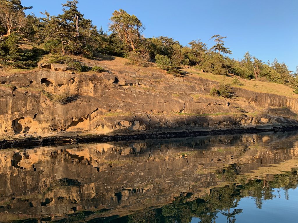
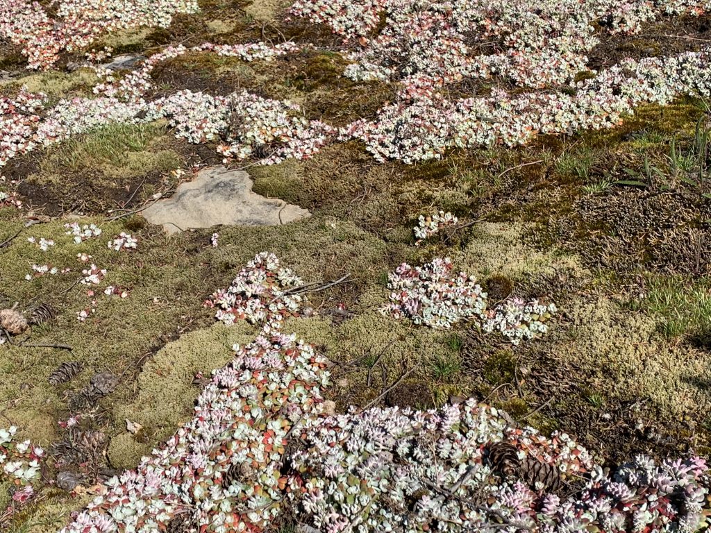
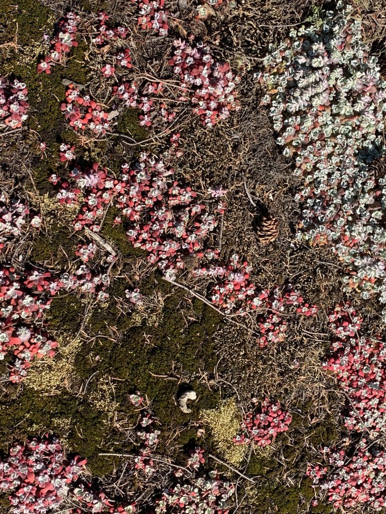
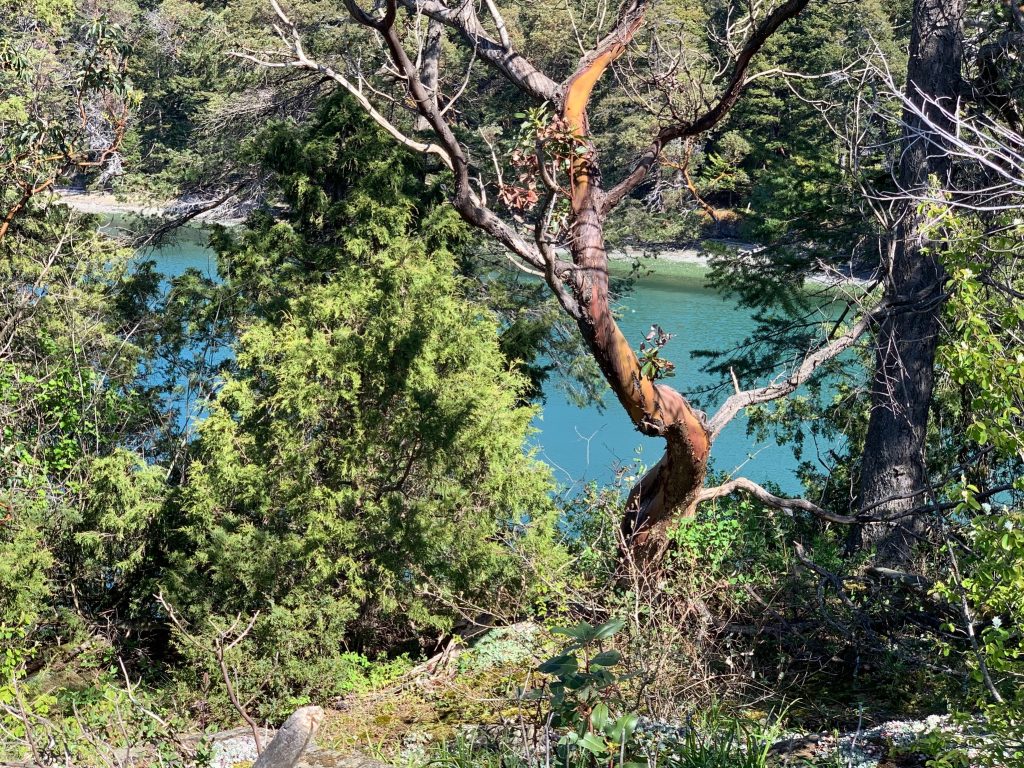
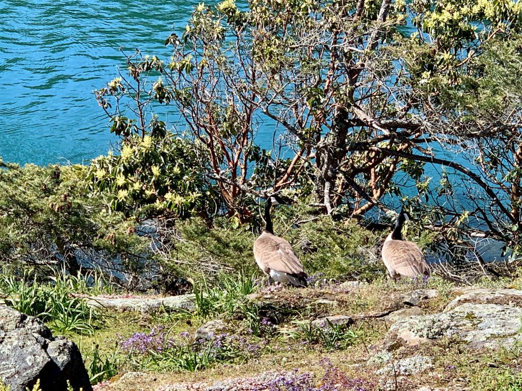
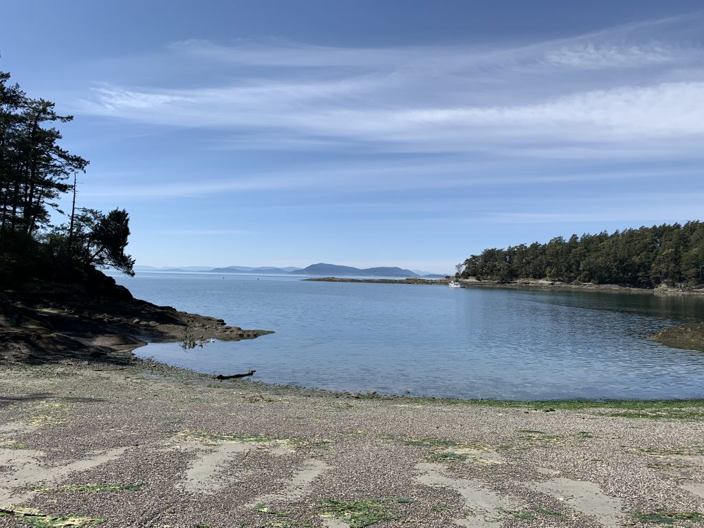
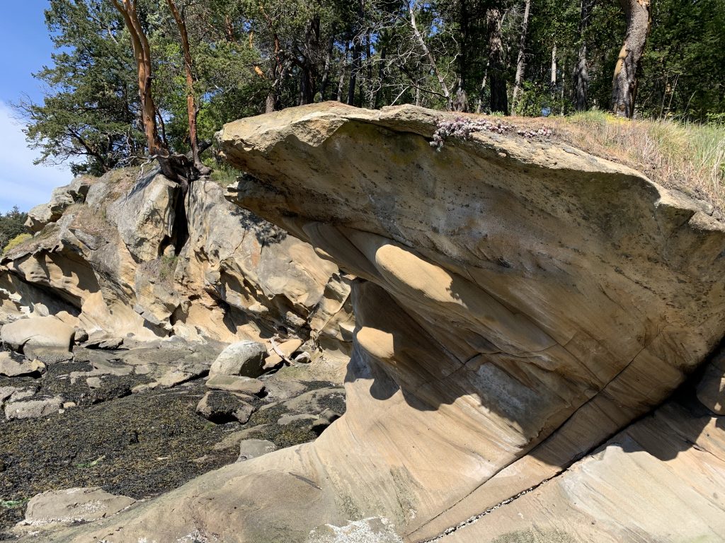
There are good reasons to love Sucia. It’s an interesting shaped Island – kind of hard to describe, look on the map – that provides lots of sheltered places to park a boat and over 10k of walking trails. You’ll see lots of birds, seals and sometimes river otters. The latter are always good for a laugh as they truly seem to enjoy just playing around.
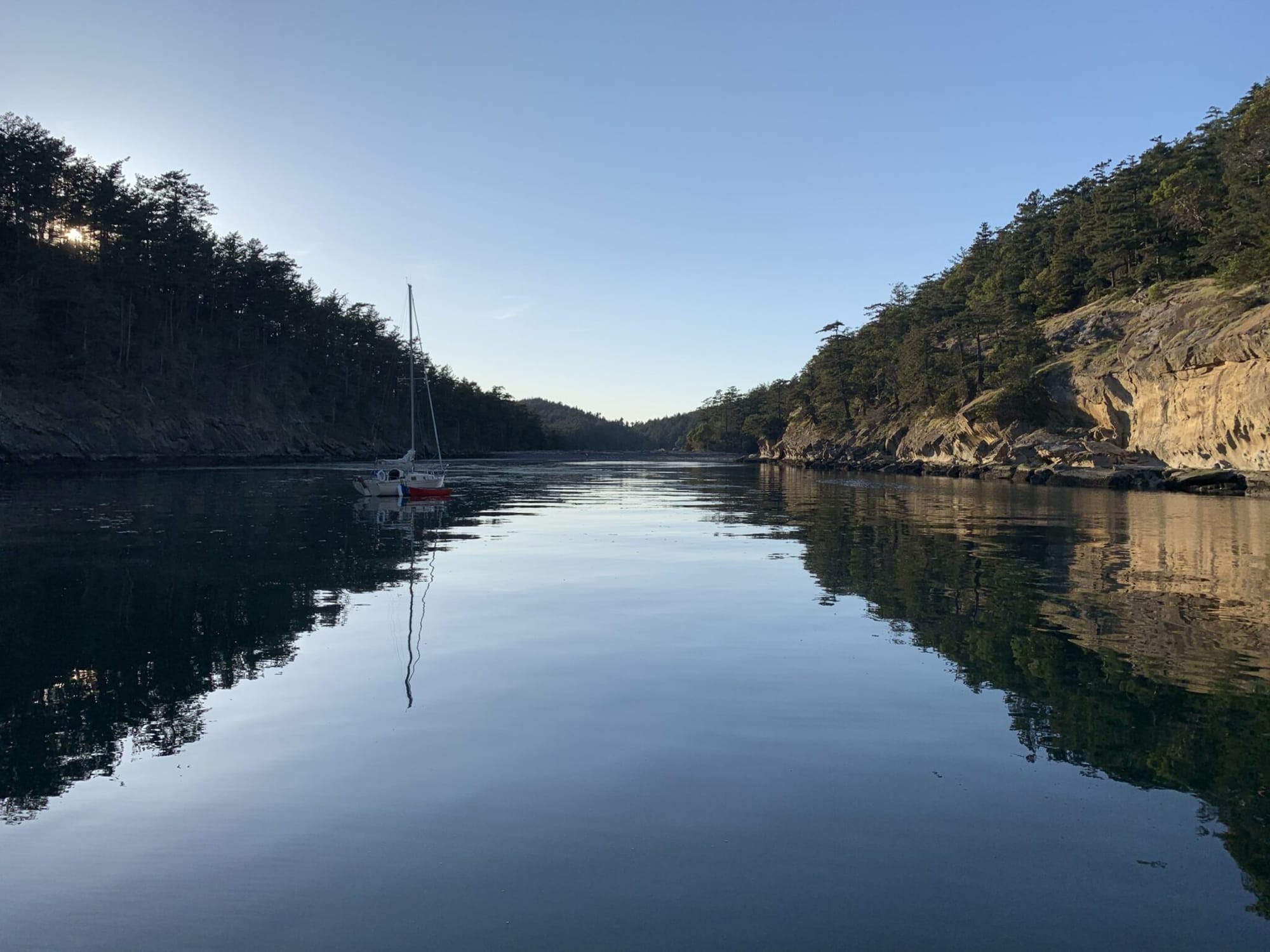
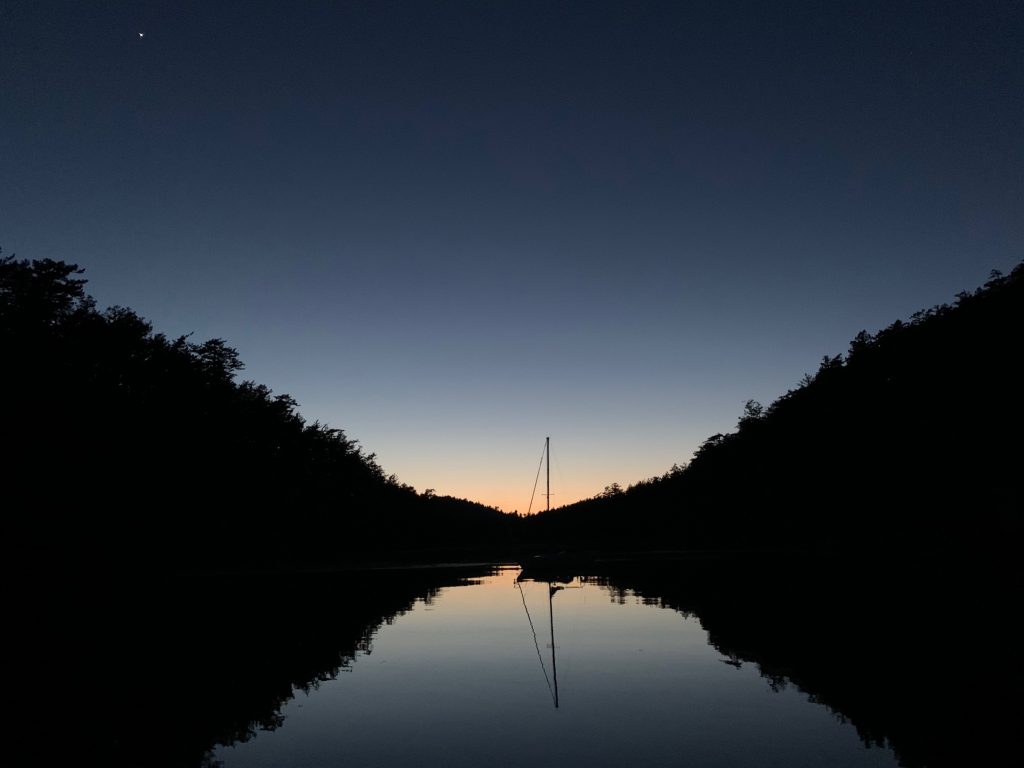
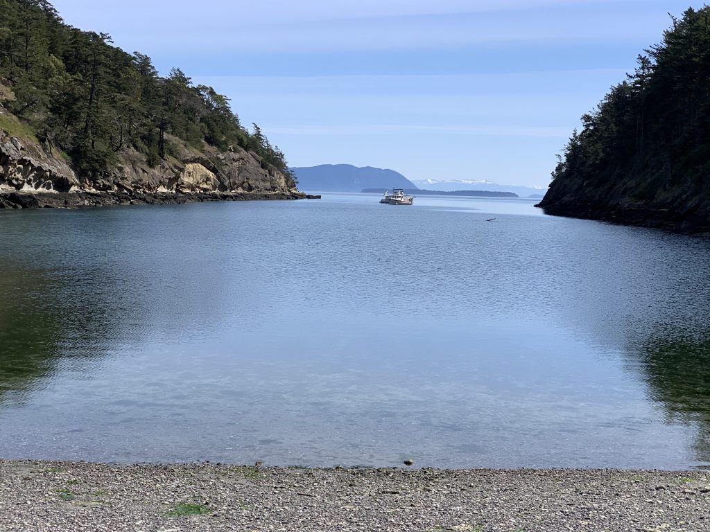
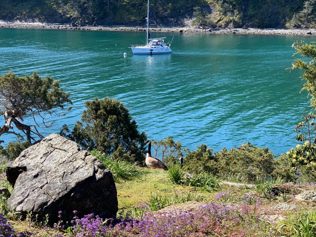
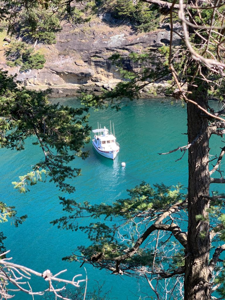
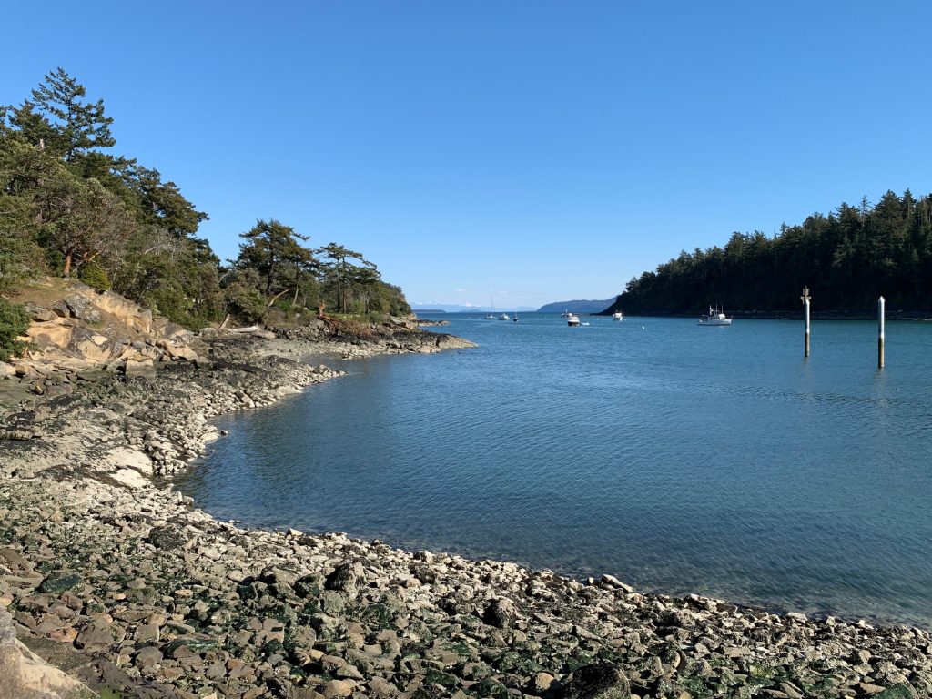
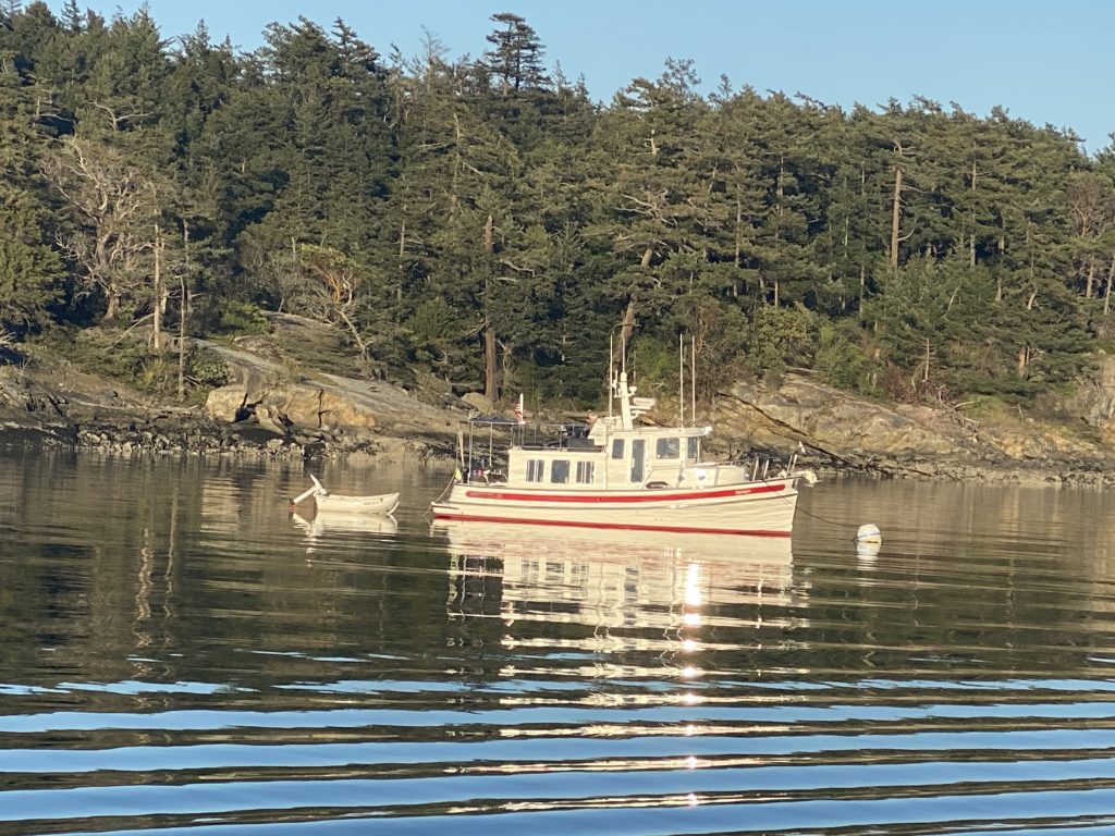
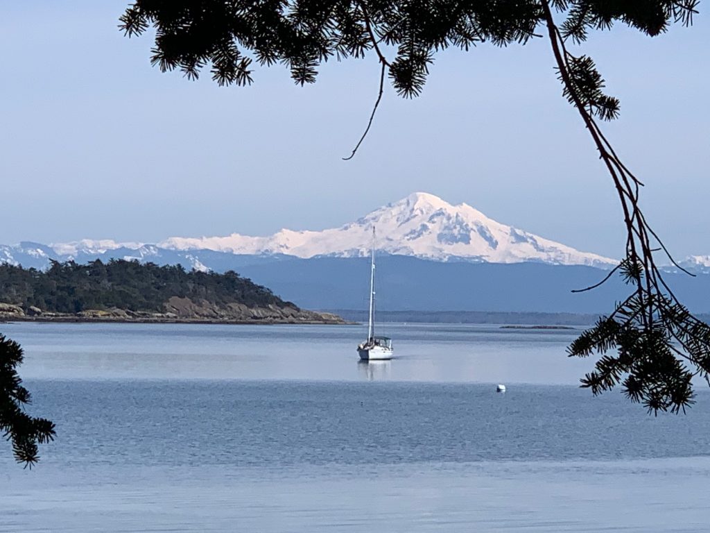
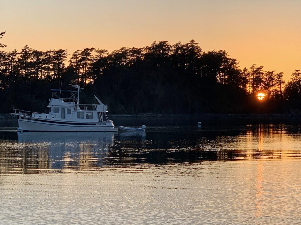
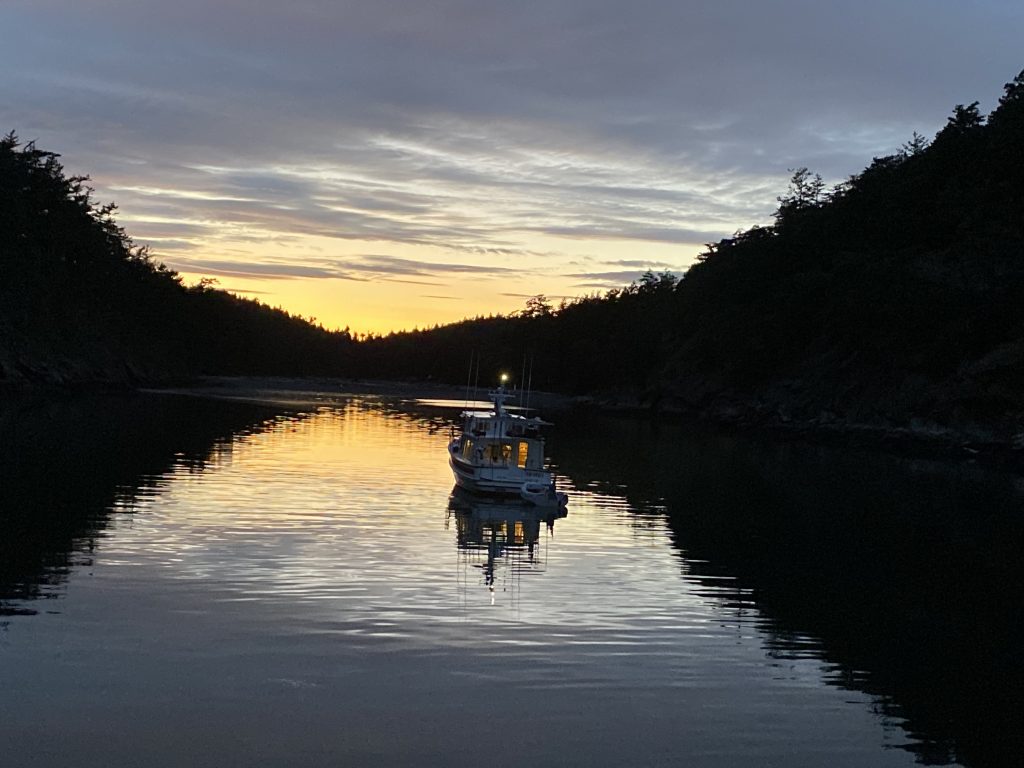
After a 2+ hour cruise across glassy-smooth water from Anacortes, we tied to one of two buoys in narrow Snoring Bay. I’d been intrigued by this small, shallow bay in the past, but was never able to find space.
We idled the afternoon and evening away, enjoying the quiet and reading.
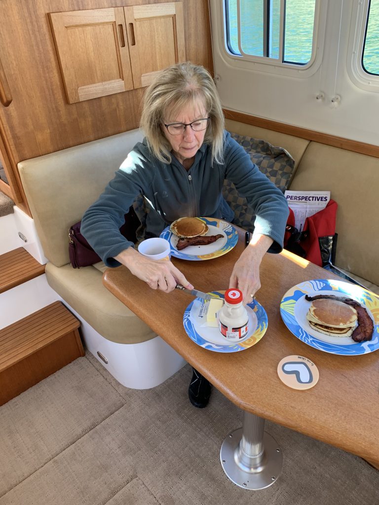
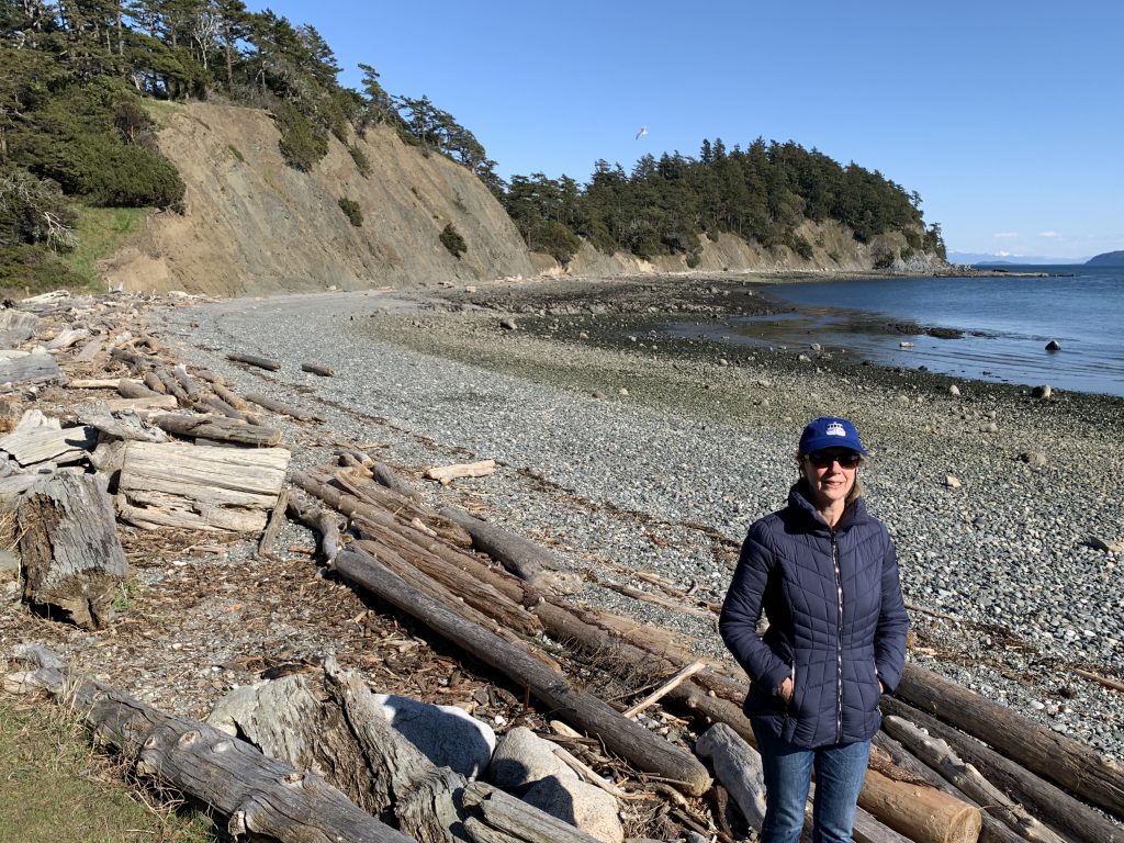
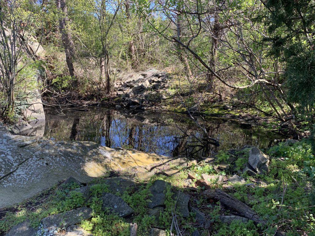
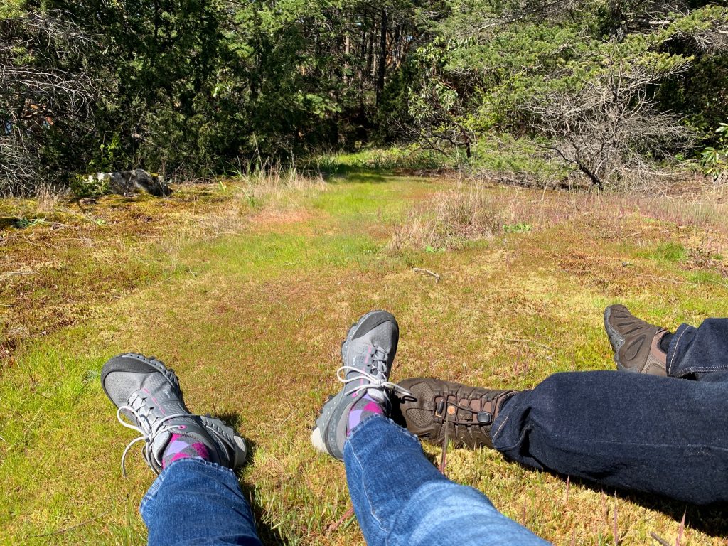
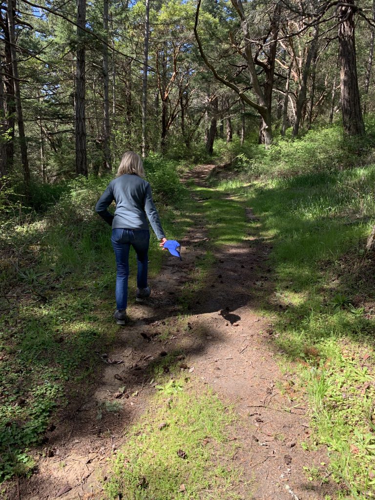
The next morning after pancakes and bacon, we took the dinghy to shore and did a walk along the arm of the Island that separates Snoring Bay from Fossil Bay.
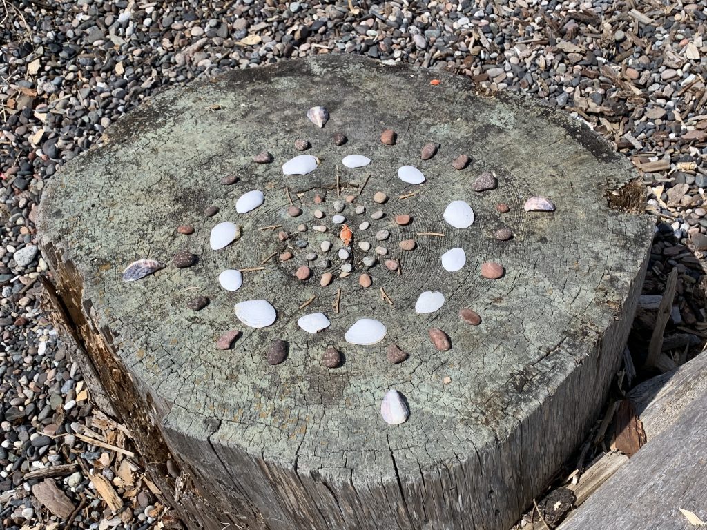
A previous visitor left some interesting folk art behind. Note the tiny crab in the middle!
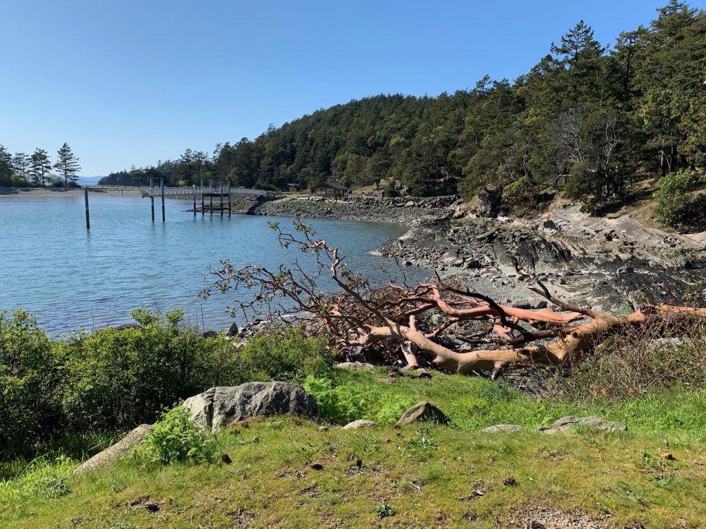
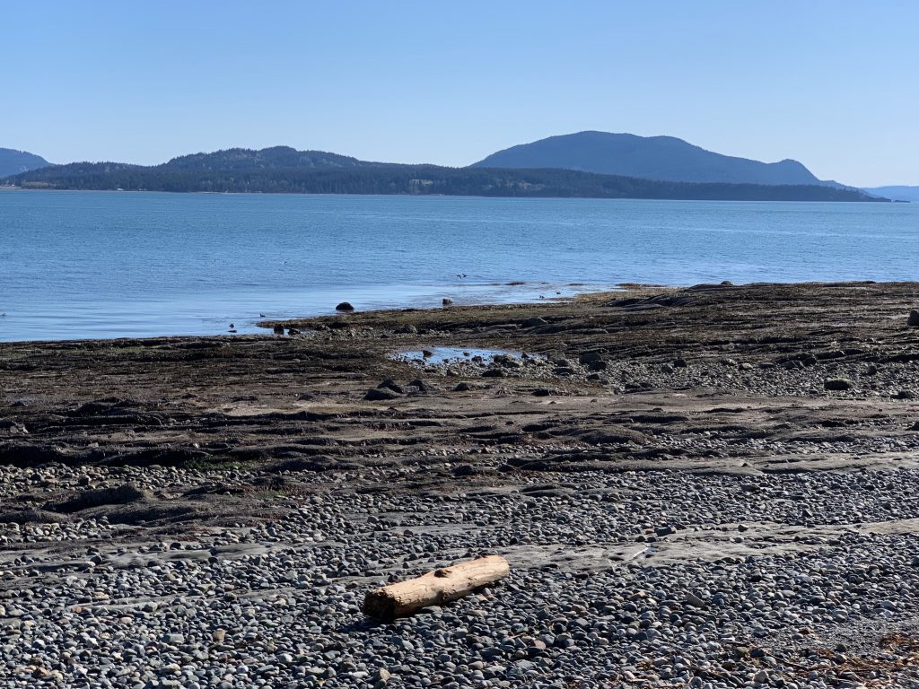
The next morning, we took a longer walk to the head of Echo and Shallow Bays. It begins as a typical up-and-down winding trail walk, then joins a service road which leads to the heads of the two opposing bays.
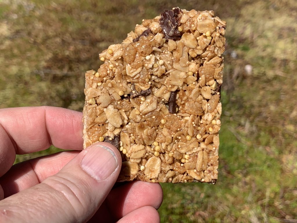
One thing about having Celiac disease, you wind up snacking on things that would look more at home hanging in a bird cage.
We were joined on the second buoy in Snoriing Bay by Anacortes friends.
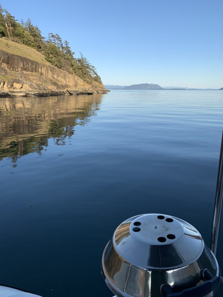
The next morning, we both set out for Matia Island.